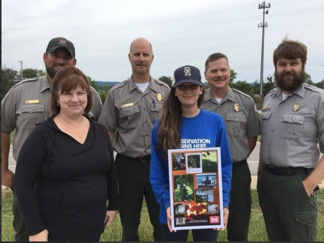
Intern working at US Army Corps of Engineers St. Paul District to do work on the Upper Mississippi River.
Assisted Corps of Engineers’ Regulatory with wetland delineations, as well as with compliance
visits.Performed GIS Tasks, which include performing data acquisition, data management, natural
resource GIS mapping, and field GPS collection.Assisted USACE employees in meeting numerous NRM goals and objectives of property
boundaries, by going out to the field using Government vehicle to check for encroachments,
monumentation and the boundary line.Data analysis for projects were often related to habitat restoration, easements and forestry.
Assisted with Shoreline Management Permitting data.
Created project reports, and natural resource maps of surveyed areas.
Participated in cooperative survey sampling and outreach programs, including:
Fishing Derby, a USACE/USFWS event at Black Hawk Park included outdoor-educational opportunities, and got granted the opportunity to teach about 30 kids orienteering, as well as some GIS (Aug, 2018)
Wild Celery Monitoring, to help refuge staff to monitor the abundance of wild celery and diversity of other aquatic plants through sampling surveys. My crew and I sampled over a 100 submerged aquatic plants in the Mississippi River (Aug, 2018)
Goose Banding, for Wisconsin DNR to check population and Canada Geese migration habits (June, 2018)
Samples of Work: